
Austin, Texas · find your footing
Get your bearings in Austin
New in town, passing through, or just trying to make sense of the place? This is the plain-language orientation to Austin, the shape of the city, how the neighborhoods fit together, what the place actually feels like, and where to look first.
Start here
First, the shape of the city
Austin makes sense once you hold a few landmarks in your head. The river — Lady Bird Lake, really a dammed stretch of the Colorado, runs east to west through the middle and anchors downtown on its north bank. Interstate 35 cuts north to south and has long marked the old divide between the historically wealthier, hillier west side and the historically Black and Latino east side, a line the city is still reckoning with as the east gentrifies.
The river runs E–WI-35 splits E / WMoPac the west bypassDowntown north bank
West and northwest, the land climbs into the Hill Country, which is why so much of Austin is green and rolling rather than flat Texas prairie. Get those four things straight, river, I-35, MoPac, and the hills to the west, and the rest of the map falls into place. A car is still the default way to cover it, though downtown, the MetroRail line, buses, bikes, and scooters cover the core.
The lay of the land
How the neighborhoods fit together
Central & downtown
Downtown, Rainey Street, and the stretch along South Congress and Zilker put you a walk or short ride from the lake trail, the music, and the restaurants. It is the densest, priciest, most walkable part of town, and where a first-time visitor will spend most of their time.
East & south
East Austin and South Austin carry much of the city’s character, the food trucks, the dive bars, the murals, the “keep it weird” streak. East of I-35 is changing fastest; South Austin holds onto its laid-back, slightly-ramshackle charm the hardest.
North & the suburbs
North Austin and the Domain are where much of the tech work and newer apartment living sit. Push further out — Round Rock, Cedar Park, Pflugerville, Leander, and the dollar stretches into more space, a longer commute, and good schools.
What makes it tick
A capital city that never quite grew up
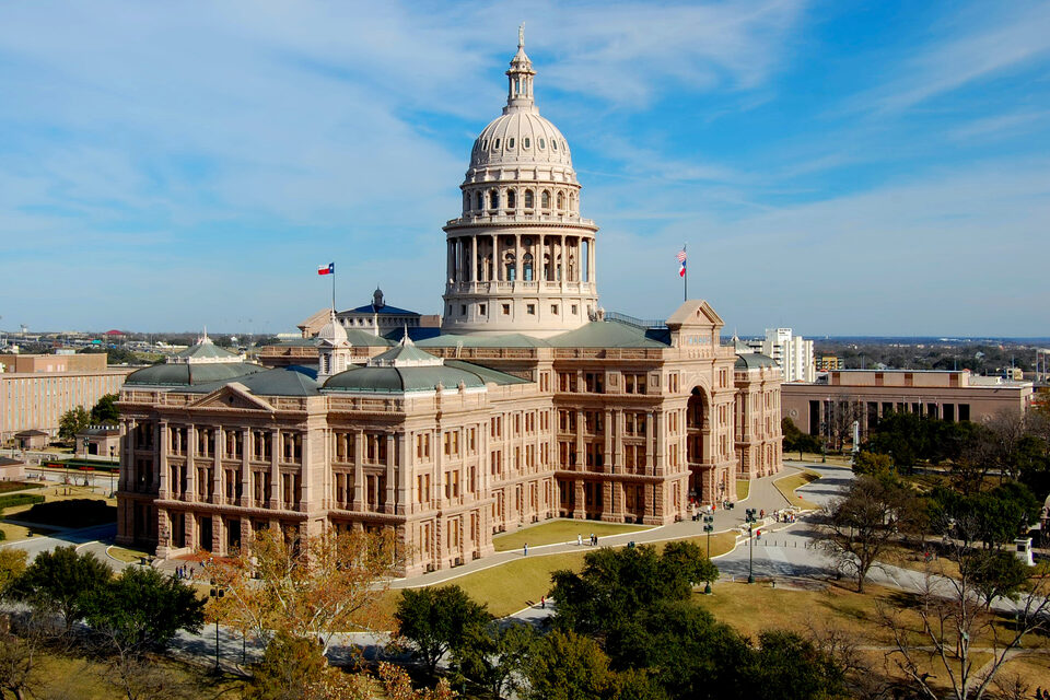
Austin runs on an unlikely mix: it is the seat of Texas government and home to the University of Texas, so politics and students have always shaped it. Over the last two decades a wave of tech, big employers and a thick layer of startups, piled on top. The result is a city that is buttoned-up and barefoot at the same time: a legislature and a Longhorns game and a late-night honky-tonk, all in the same square mile.
The main event
The outdoors is woven right in
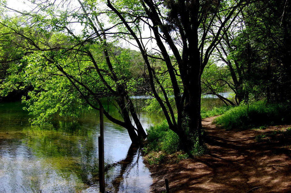
You do not drive to nature here; it is stitched through the middle of the city. Barton Springs holds a steady 68° for year-round swimming, the hike-and-bike trail rings Lady Bird Lake for ten flat miles downtown, and the Barton Creek Greenbelt drops you into limestone canyons and swimming holes minutes from the office towers. Add Zilker Park, Mount Bonnell, and the chain of parks, and being outside becomes the default rather than a plan.
Go deeper
Pick a thread and pull
The orientation above is the map. These are the guides that fill it in, each one its own corner of the city.
Neighborhoods
Downtown, East Austin, South Congress, Hyde Park, Mueller, the Domain and the suburbs, the feel of each and who it suits.
Food & tacos
Central Texas barbecue, breakfast tacos, Tex-Mex and queso, and the food-truck city, the things Austin is known for eating.
Live music
The Live Music Capital — Red River, the Continental Club, the Broken Spoke, and the festival calendar that fills the spring and fall.
Outdoors
Barton Springs, the hike-and-bike trail, the Greenbelt, Mount Bonnell, the lakes, and the Congress Avenue bats at dusk.
Moving to Austin
Climate, no state income tax, the job market, traffic, cost of living, and getting a Texas license, the newcomer basics.
Events calendar
Concerts, games and shows coming to town, real dates, venues and tickets, refreshed through the week.
Keep current
What’s happening in Austin
The city moves fast. A few ways to keep a finger on the pulse without the firehose:
Austin headlines
A live, auto-updating feed of Austin news so you can see what the city is talking about today.
Today at a glance
A quick pulse on the city, the local headlines and facts of the day, refreshed automatically.
Austin on video
A hand-picked shelf of Austin city and travel videos worth your time, for getting a feel before you arrive.

Find your footing
Make Austin make sense
The shape of the city, the neighborhoods, the vibe, and the honest trade-offs, in one place, kept current. Start with the questions most newcomers ask first.